This is a self-grading exam. Answers are entered by selecting the checkbox corresponding to your answer choices(s) or by typing-in your answers in the case of fill-in test items (if applicable). The examination is scored by clicking the 'Grade Test' button at the bottom of the form. Correct answers and explanations are found through hyperlinks at the bottom of the page. This test requires that your browser be JavaScript enabled. Please verify that JavaScript is activated if you encounter any problems. NOTE: Fill-in/Essay test items (if any) cannot be graded and thus are ignored. However, you may view these test items for their correct answers in the 'Correct Answers' section below (if provided by your instructor).
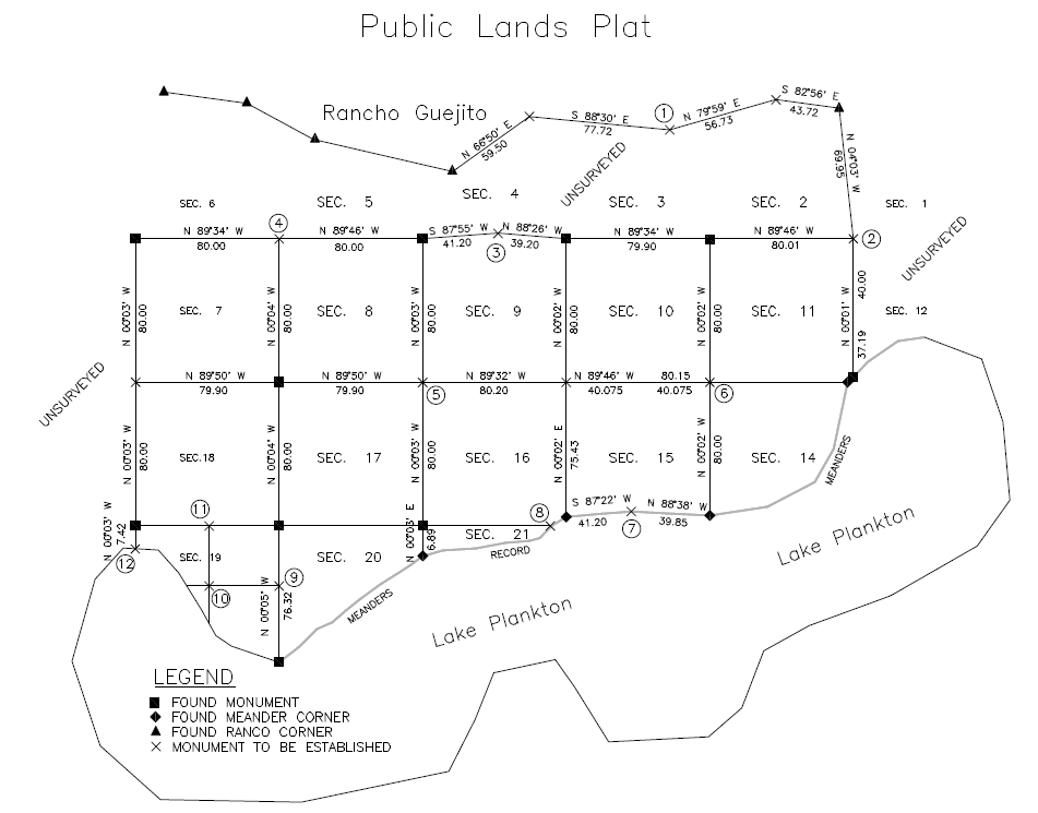
11. (45) With respect to the legal significance of a plat, which of the following are always true.
1. The plat may be used to determine the limits of the area that passed under a patent.
2. The plat is an intergral part of the grant or deed.
3. If the plat is in conflict with the field notes, the plat is considered superior.
12. (46) Satisfactory evidence of the location of sectionalized land lines has value in the following order
1. Fences, walls or other evidence showing occupation of the property to the lines or corners.
2. Bearing trees or other witnesses.
3. Living persons.
4. Evidence of the corner itself.